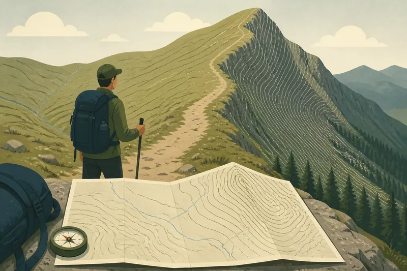
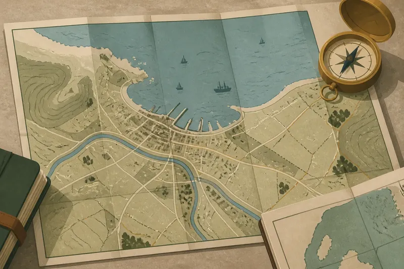
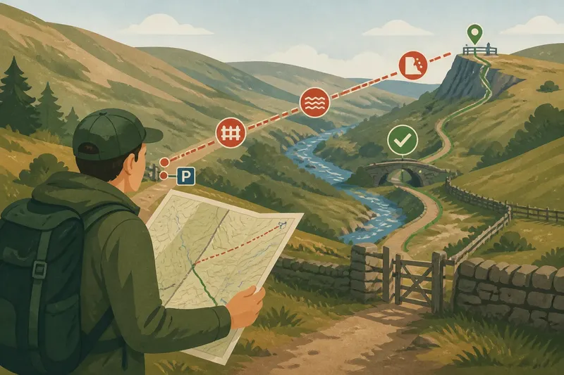
Paper Map or Digital Map for Planning a Walking Route?
Compare paper and digital maps for planning a walking route, so you can judge terrain, detail and alternatives before setting out.
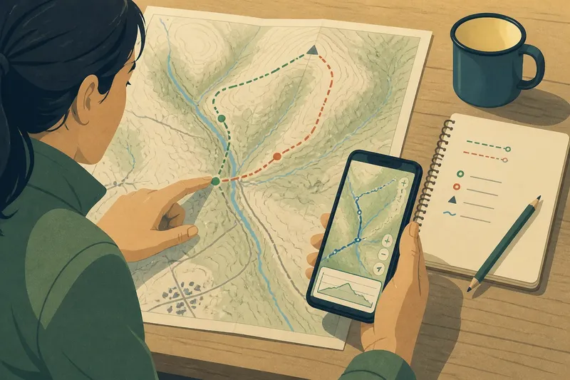
You have a free afternoon, a starting point near the edge of town and two possible ways into the hills. A paper map or digital map can help plan the walk, but each makes different things easy to notice: one holds a broad area still on the table; the other lets you inspect particular paths and change the view quickly.
The useful question is not which format wins. It is which one lets you make the decisions this route requires, and whether using both would clarify a choice that either leaves uncertain.
Start with the whole route
A paper map gives a fixed overview. You can see the start, destination, surrounding settlements, ridges, valleys and path network at once, provided the map’s scale covers the area you need. That broad view makes it easier to notice that a seemingly direct walk crosses a major valley, skirts an isolated stretch or sits close to a road you might use as an alternative.
With a digital map, that same overview depends on the screen, the map layer and the zoom level. Zoom out to compare the whole outing, then zoom in to inspect a junction. The movement is convenient, though it can be easy to focus on a path detail and lose sight of how it fits into the longer route.
Begin by marking the start and intended turning point, even if the mark is only a fingertip or a saved pin. Check what lies between them before drawing a line. A route that looks uncomplicated at a close zoom can become much less straightforward when you see the surrounding ground.
Keep the broad view visible while you weigh individual sections.
Read detail at the right scale
Map scale affects what you can judge. A small-scale map shows a larger area with less local detail; a large-scale map covers less ground but can show paths and features more clearly. A paper map often presents one chosen scale at a time. A digital map may offer several scales or layers, but detail can change as you zoom, so check that the information you are interpreting is actually shown at the current view.
For a paper map, use the scale bar to compare a route segment with the distance on the page. Do not assume that a printed line’s apparent length tells you how long the walk will feel: distance alone leaves out ascent, surface, turns and stops. Read path symbols alongside contours, streams, buildings and other landmarks that help you understand the route’s setting.
On a digital map, inspect the mapping source and layer rather than treating every visible line as equivalent. A footpath on a detailed topographic layer may be represented differently from a route on a general street map. If a route-planning app draws a proposed line, distinguish that suggestion from the underlying mapped paths.
When a junction matters, look for more than the junction symbol. Nearby buildings, a bend in a stream or the shape of a slope may help you recognise the place on the ground.
Compare alternative shapes
Two routes between the same points may differ more in shape than in length. One might follow a valley and return along a ridge; another might make a loop past a village or keep close to a road. A paper map invites you to trace both options side by side, making their overall form easy to compare without changing screens.
Digital maps make it easy to move a waypoint, reverse a route or compare several saved lines. That helps when you are testing different ways around a feature, but the display can encourage small adjustments that look tidy without answering the larger question: what kind of walk does each route create?
Try comparing each option in plain language. Does it make a loop or an out-and-back? Where does it cross a stream or meet a road? Is there an obvious point to turn back, and are there places where a shorter alternative could rejoin the planned route? These questions make route shape more useful than a simple comparison of lines.
Say you are planning a walk from a village green to a viewpoint. Imagine the paper map shows a loop using a valley path on the way out and a ridge path on the return, while a digital map lets you inspect the two junctions where the paths diverge. You could use the paper overview to judge whether the loop makes sense as a whole, then use the digital detail to check the junctions; the observable result is a plan with a clearer route shape and named decision points, not merely a line on a screen.
Which map suits this route?
When is a paper map easier to compare?
Use a paper map when seeing several alternatives together matters more than changing scale quickly. It is particularly useful for comparing the shape of loops, spotting the broad relationship between paths and landforms, and discussing options with another walker around a table.
When is a digital map more useful?
Choose digital planning when you need to inspect details across different zoom levels, move waypoints or save more than one possible line. A digital map can also make it simpler to search for a named starting place or revisit a route you have already saved.
Can the two formats be used together?
Yes. Use the format that makes the main decision clearest, then check any uncertain detail in the other. For example, compare the alternatives on paper and use a digital map to inspect a particular crossing, or trace a digital route and check whether its overall shape fits the wider area.
What should you check before relying on either?
Check the map’s coverage, scale, symbols, date or update information where available, and whether the paths shown suit the kind of walk you are planning. Map conventions and access details vary, so follow the map publisher’s notes and local rules when they affect your route.
Plan decision points
A route plan should help you recognise choices, not just describe a start and finish. Mark places where you may need to decide which branch to take, where a crossing occurs or where an alternative route could begin. On paper, use light pencil marks so the map remains readable. Digitally, add waypoints with names that explain their purpose rather than leaving a row of anonymous pins.
Keep the number of marks manageable. If every bend becomes a waypoint, important decisions can disappear among minor details. Focus on the places where following the wrong path would change the outing, or where the route’s shape depends on taking a particular branch.
Write down a short cue beside each important decision: for instance, the name of a path junction or a nearby feature visible on the map. A useful cue links the line on the map to something you can look for, instead of relying only on a screen position or a pencil mark.
Check what the map leaves out
Neither format can show every condition that may affect a walk. A mapped path may be hard to identify on the ground; a route line does not by itself explain surface, exposure, weather or access. Treat the map as a planning aid, not a complete account of what you will encounter.
Before committing to an option, check whether the map gives enough context for the kind of terrain and route you have in mind. Look for steep ground, waterways, roads, settlements and possible ways to shorten or leave the route. If an important detail remains unclear, consult another suitable map source or choose a plan that does not depend on guessing.
Digital convenience also has limits. A saved route may be difficult to interpret if the map display changes, while a paper map may not show the detail you need at its printed scale. If you plan to use a phone outdoors, consider whether you will have access to the map when you need it; if you carry paper, make sure its coverage includes the whole planned area.
Choose a planning combination
For a simple walk on familiar paths, one clear map may be enough to compare the route options and mark the main turns. For a walk with several branches, a broad loop or a feature that needs close inspection, combining formats can make the planning decisions easier to see.
A practical choice is to start with whichever format shows the whole route best. Then use the other only to resolve a specific question: a junction’s position, a path’s relation to nearby features or whether an alternative rejoins the planned line. This keeps the map tools in service of the route rather than turning planning into endless zooming and redrawing.
When choosing a paper map or digital map for planning a walking route, match the format to the decision in front of you: overview for route shape, close detail for uncertain sections, and a clearly marked cue wherever you may need to choose. Before setting out, make sure your chosen map covers the route and that you can read the marks you have made.